

Storm Darragh follows on from a period of unsettled and squally conditions. The large area of low pressure is expected to bring a period of strong winds to much of the UK. Heavy rain will also be a feature of Storm Darragh with the heaviest rainfall expected to be focussed in the northern and western parts of the warning area. Some hill snow in the north in areas above 200m elevation can also be expected.
Jason Kelly is a Met Office Chief Forecaster. He said: “Storm Darragh is an evolving system and will bring several hazards, including wind gusts of up to 70-80mph around western coasts, especially from Devon and Cornwall to southwest Scotland and Northern Ireland. Wind speeds in inland areas will be slightly reduced with maximum gusts expected to reach 60-70mph.”
A series of Yellow weather warnings will remain in force until Sunday. On Saturday an Amber weather warning for wind is in place to cover the areas at risk of the greatest impacts from Storm Darragh. For the latest weather situation please stay up to date with the National Severe Weather Warnings.
Thursday and Friday
The period ahead of Storm Darragh’s arrival will also be unsettled. Jason Kelly added: “Today we will see bouts of heavy rain and squally winds moving eastwards across the UK with the bulk of the rain moving away from the UK by late evening. Tonight, will remain largely dry with clear skies ahead of Storm Darragh which will begin to impact Northern Ireland Friday evening.”
 Flooding forces Eastbourne roller-skating rink to close
 £50,000 fundraising goal set for 'significant' Arlington Stadium repairs
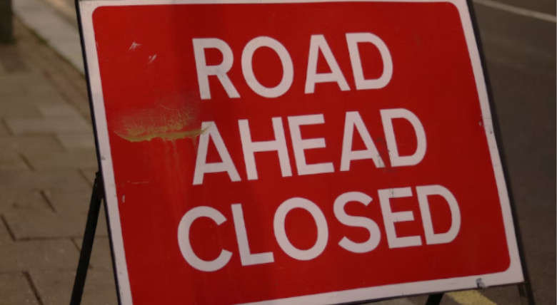 Hailsham main road to remain closed for further five weeks as works move to second phase
 Eastbourne MP to meet with new South East Water CEO to discuss 'ongoing challenges'
 South East Water looking to repair leak in Eastbourne road ‘as soon as possible’
 East Hoathly Care Home Named in Care Experts UK Top 10
 Eastbourne man, 23, jailed for running Brighton drugs line
 Fourth member of family pulled from the water in Shoreham sadly dies